


Agricultural BMP Database
In 2011, the Water Research Foundation, the National Corn Growers Association (NCGA), and the United Soybean Board (USB) began a collaborative effort to develop an agricultural BMP database as a companion to the International Stormwater BMP Database. Agricultural water quality studies are inherently complex, with many temporal and spatial variables related to crop production and surface and subsurface pollutant loading. The Agricultural BMP Database stores metadata about field conditions, cultivation practices, water quality BMPs and quantitative performance data for various pollutants.
Improved understanding of agricultural BMP performance will lead to better informed decision making and more cost-effective solutions for managing agricultural runoff. For many watersheds, scientifically sound knowledge of both urban and agricultural BMP performance is needed to develop watershed-based approaches to reduce pollutant loading to waterbodies. The Agricultural BMP Database project is a tool that can support these efforts by building upon research already conducted by a variety of federal and state agencies, university researchers and others.
Development of the Agricultural BMP Database is a long-term effort, with four phases to date:
Phase 1 (2011-2012): The Phase 1 effort focused on gathering field performance studies from the literature, developing the Agricultural BMP Database framework, identifying the initial list of BMPs for inclusion, identifying critical study metadata parameters, and developing a data entry workbook.
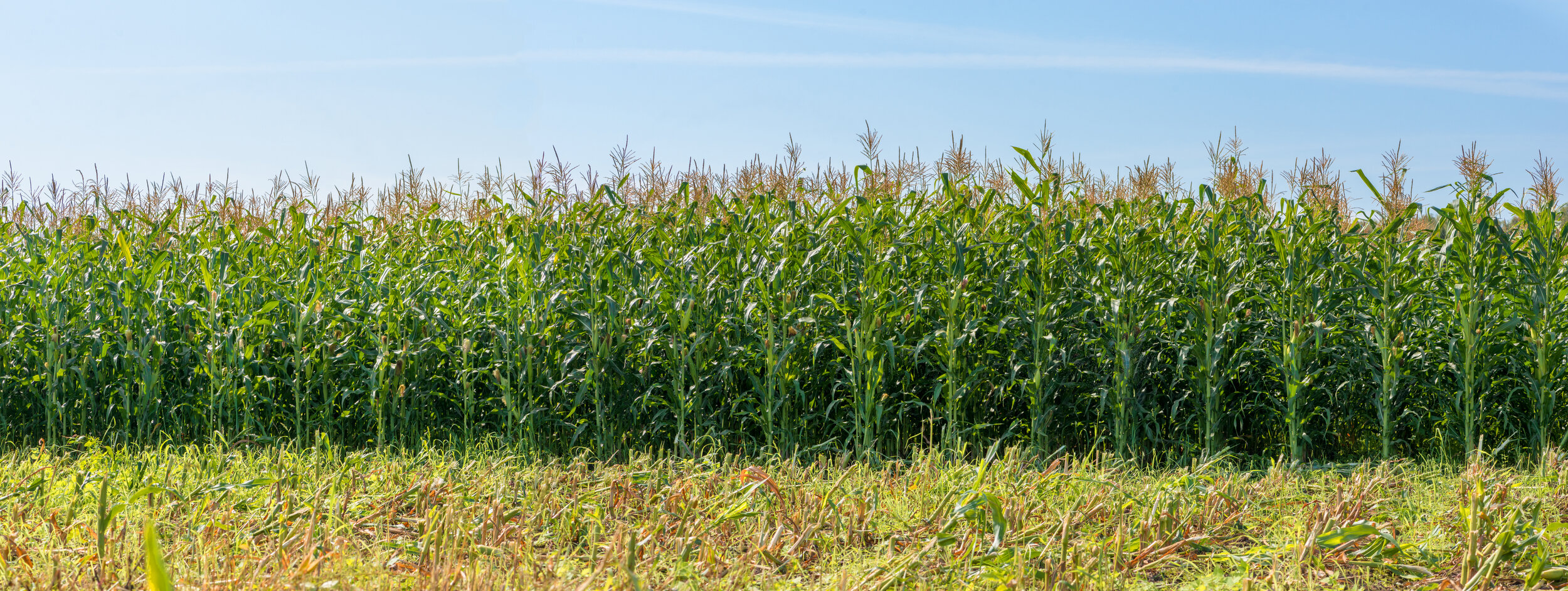
Phase 2 (2013 –2014): An Expert Panel was convened to peer review the initial database framework, resulting in revisions to the draft database structure. Additional literature sources and historical databases (Virginia Tech and MANAGE) were identified and used to initially populate the database. Additional studies were added to the database with corn and soybeans being the most common primary crop. Conservation tillage, filter strips, nutrient management practices, drainage water management, and multiple-practice studies were the most commonly studied practices. Phase 2 concluded with the development of a User’s Guide and a final data entry workbook.
Phase 3 (2016-2017): The Phase 3 scope of work built upon work completed during the first two project phases. The primary focus was further populating the database and preparing a summary report that summarized technical findings from the database to date.
Phase 4 (2018-2020): Phase 4 continued the Phase 3 effort and focused primarily on additional population of the database and preparation of outreach materials. Version 3.0 of the database now has nearly 100 studies including monitoring data for over 400 study areas under various types of crop production and BMP conditions.
WRF and NCGA welcome additional partners to participate in and support this initiative. If interested, please contact WRF Program Director Dr. Harry Zhang.
Project Summaries
2020 Agricultural BMP Database Summary Report
2017 Agricultural BMP Database Summary Report (V.2)
2015 Agricultural BMP Database Summary Report (V.1)
2012 Phase 1 Literature Review
Data Entry and Database
2016 AgBMPDB User’s Guide (Version 1.1)
2016 AgBMPDB Data Entry Spreadsheet (Version 1.1)
Download Access Database
2019 Agricultural BMP Database (Version 3.0) (Requires Microsoft Access)